Historic Photos of the Reservoirs
|
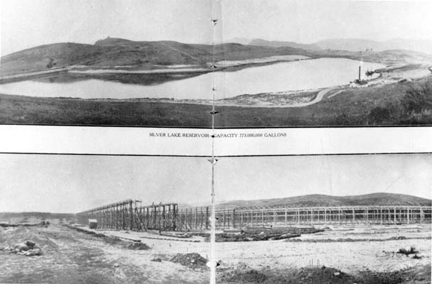
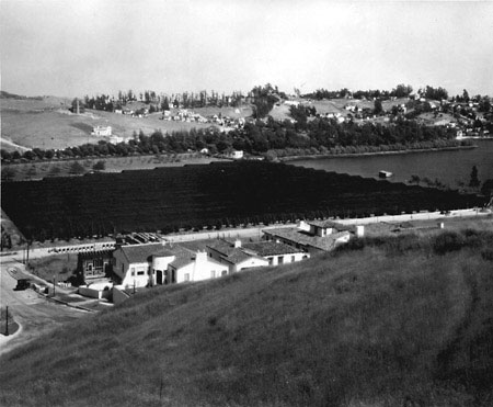
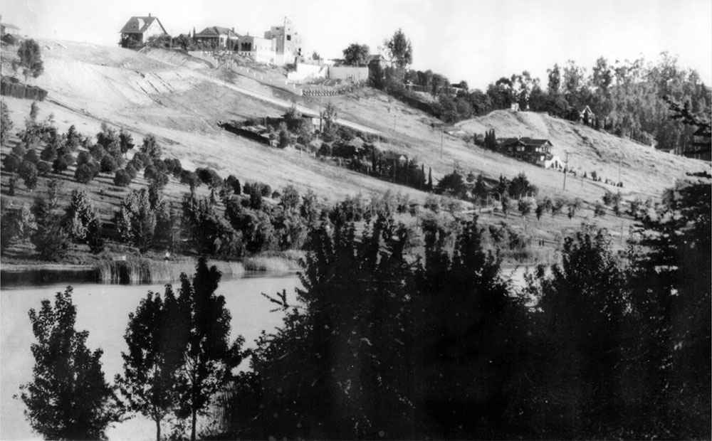
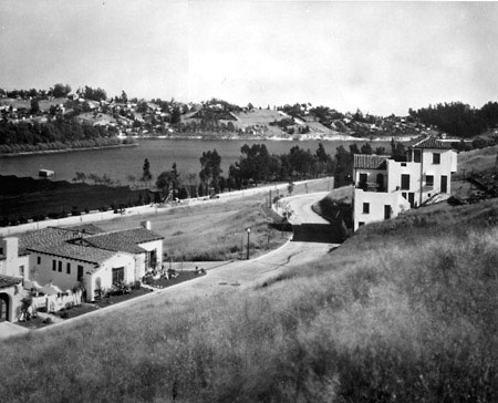
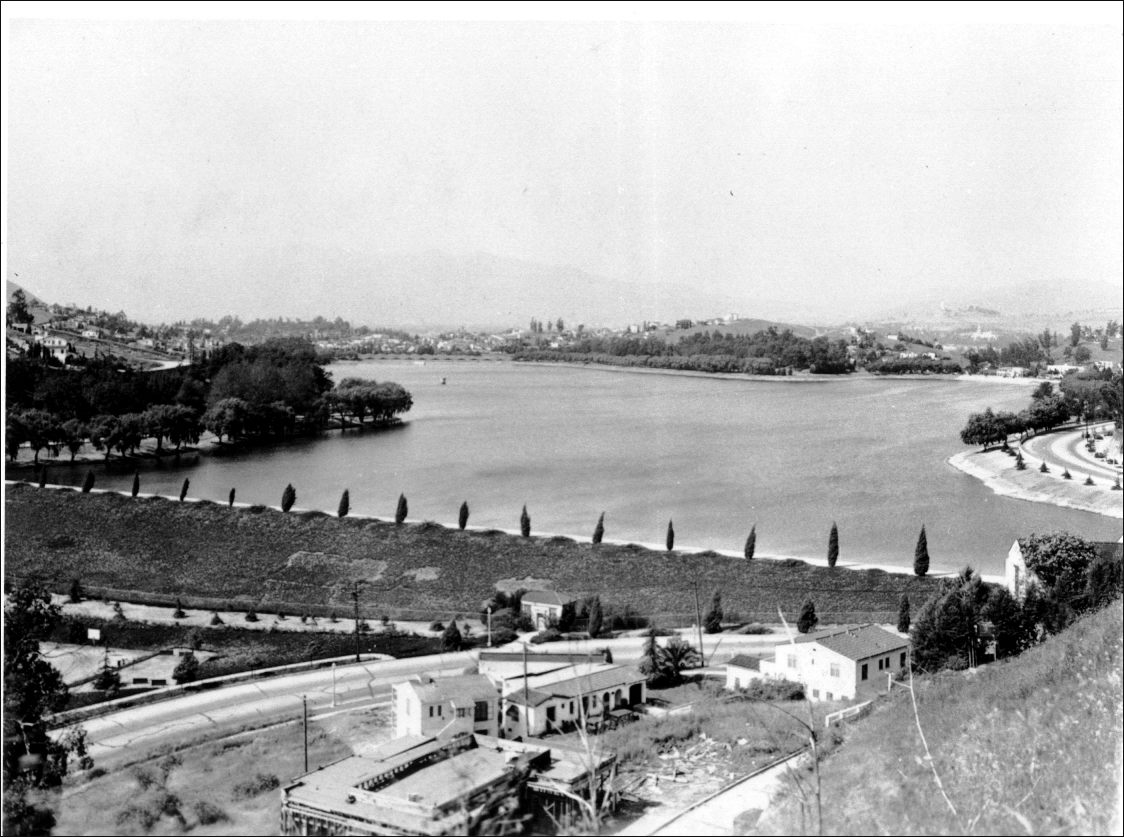
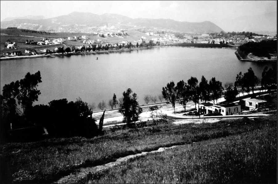
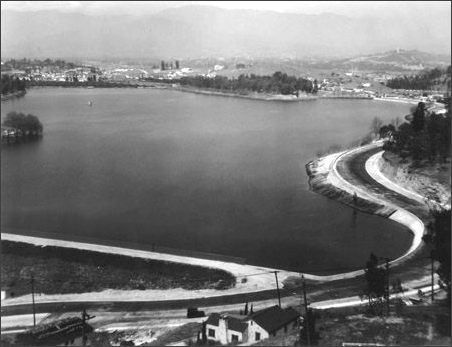
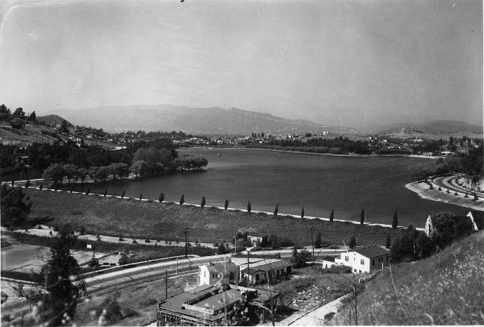
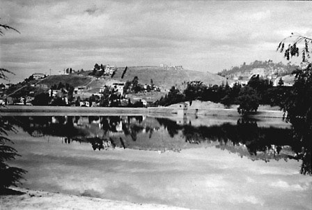
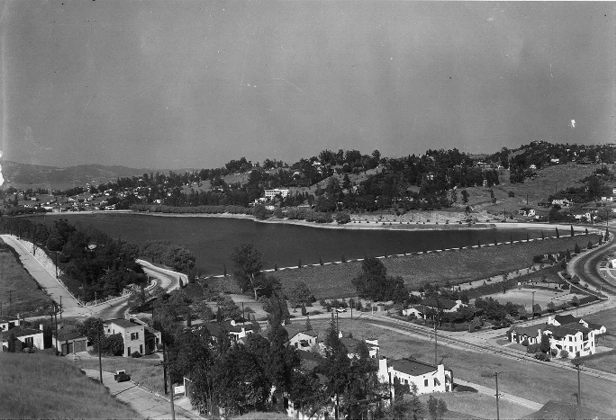
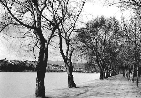
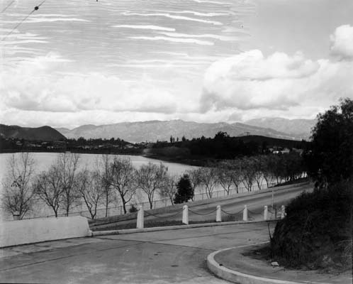
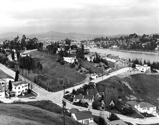
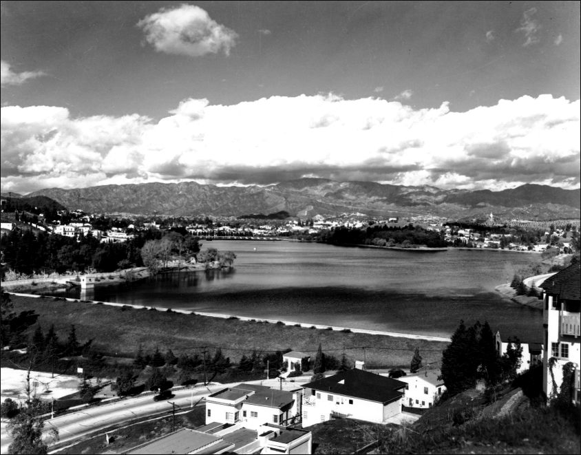
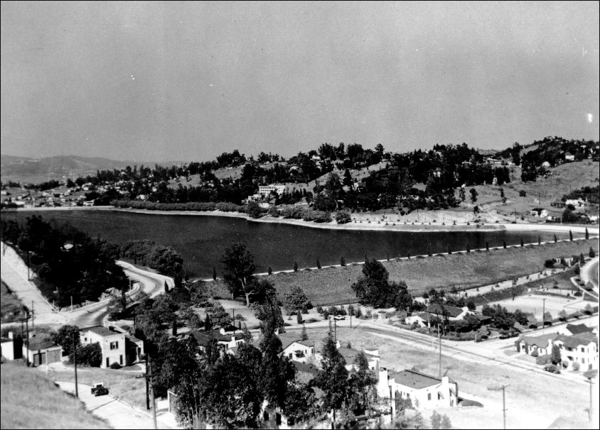
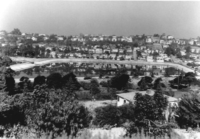
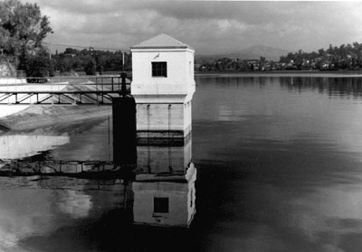
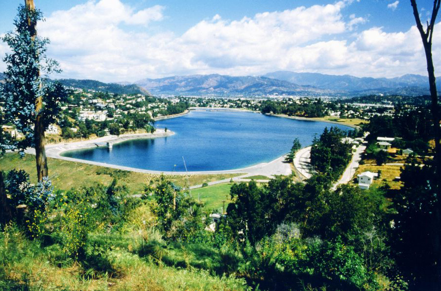
Silver Lake has changed dramatically in the past 100 years. The photographs on these pages reflect that change. Also, the housing density is very apparent in the aerial photograph section. Please choose a category to view photos from that topic or time. [Photos are courtesy of DWP unless otherwise noted.] |
| 1906 Panorama Aerial Views (All Photos can
be |
Miscellaneous The Neighborhood |
Red
Car Lines Studios |
 |
|
 |
|
 |
|
 |
|
 |
|
 |
|
 |
|
 |
|
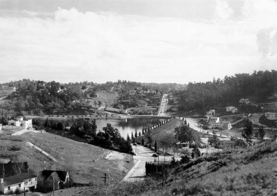 |
[photo courtesy Los Angeles Public Library) |
 |
|
 |
|
 |
|
 |
|
 |
|
 |
|
 |
|
 |
|
 |
|
 |
|
 |
|
 |
|
|
If you have any historic photographs of Silver Lake, please contact
Spencer L. SooHoo at |
|